
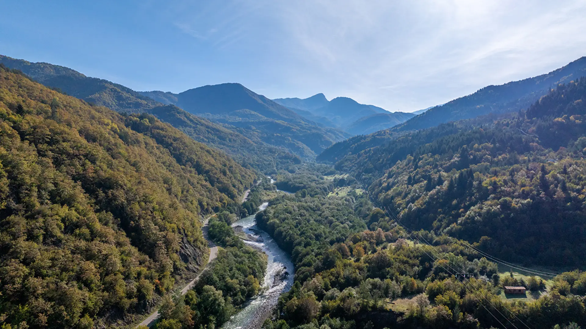
Sorgiti 1 & Sorgiti 2
A project for the valley's future, in Racha
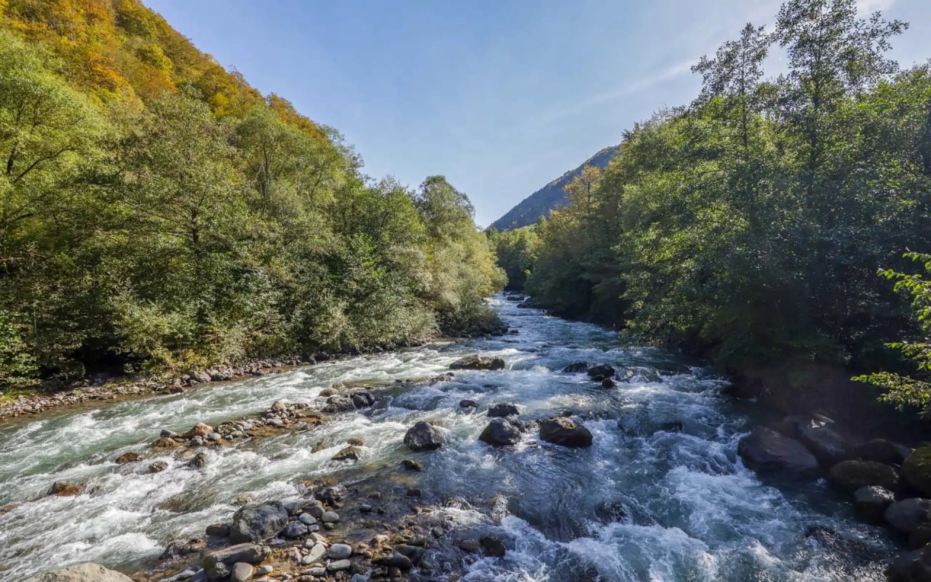
The Jejora River
Respecting nature, for the valley's future
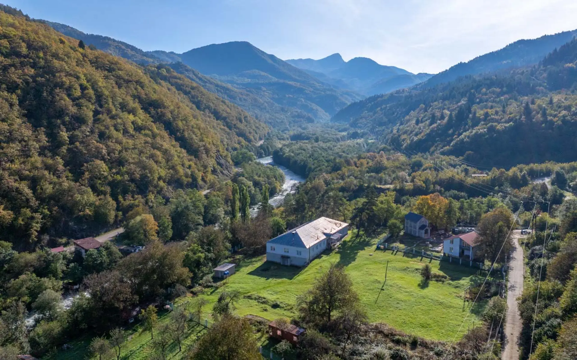
Developing the Valley
Social and infrastructure investment
About the Project
Hydroelectric power stations "Sorgiti 1" and "Sorgiti 2"
What will the valley gain?





FAQ
Frequently Asked Questions
Has anyone confirmed the full stability of the Somitsо landslide?
During its review of the project, the National Environmental Agency requested additional information concerning the Somitso landslide and associated geological risks. The company subsequently submitted the requested information together with the relevant supporting materials.
The documentation explains that the Somitso landslide is located on the left slope of the Jejora River valley, while all hydrotechnical and infrastructure facilities of the SORGITI 2 HPP are situated on the right bank of the river. Accordingly, construction of the project does not directly affect the Somitso landslide.
Following its review of the submitted information, the National Environmental Agency issued a positive environmental decision for the project and authorized its implementation subject to compliance with the conditions specified in the decision.
Of the 24.94-hectare project area, how much lies within the landslide zone?
The total area of the SORGITI 1 and SORGITI 2 project sites is 24.94 hectares. Of this, the SORGITI 1 project area covers approximately 11.70 ha, while the SORGITI 2 project area covers approximately 13.24 ha.
With regard to the Somitso landslide, the available materials confirm that the main hydrotechnical and infrastructure facilities of SORGITI 2, including the penstock pipeline and the HPP powerhouse, are not located within the landslide body itself or within its immediate area. Accordingly, there is no direct territorial overlap between the project’s main facilities and the landslide body.
In addition, an approximately 900-metre section of the pipeline planned along the right bank of the Jejora River, covering an area of approximately 0.9 ha, does not fall within the Somitso landslide area.
The publicly available documents do not specify how many of the 6,402 trees are walnut trees and how many belong to other species.
According to the forest inventory materials submitted to the LEPL National Environmental Agency and the LEPL National Forestry Agency, a total of 6,402 trees have been recorded within the project area. Of these, 16 are walnut trees, while the remaining 6,386 trees belong to other species.
More specifically, the inventory includes: 4,382 alder trees, 447 hornbeams, 791 willows, 2 beech trees, 16 linden trees, 36 wild cherry trees, 88 wild pear trees, 13 wild apple trees, 5 cherry plum trees, 1 mulberry tree, 15 willow trees, 2 elm trees, 1 poplar tree, 169 acacia trees, 141 oak trees, 175 ash trees, 85 pine trees, 17 spruce trees, and 16 walnut trees.
Trees felled within the framework of the project will initially be temporarily stored within the construction corridor and will subsequently be transferred to the LEPL National Forestry Agency for management. The company will then purchase the timber from the state and provide it to the local population free of charge.
Regarding ichthyofauna: In May 2024, the National Environmental Agency requested the submission of additional information, including because an ichthyological survey map had not been provided and part of the surveys had been conducted under conditions of high river turbidity.
The additional information requested by the Agency was subsequently submitted in the relevant explanatory documentation, in accordance with the requirements set out in the Agency’s Letter No. 21/5416 dated 28 May 2024.
Who owns the land in the construction corridor?
The final shapefiles of the project corridor were submitted to the National Environmental Agency together with the Environmental Impact Assessment (EIA) Report, and the relevant materials are publicly available on the Agency’s website, ei.gov.ge.
In addition, no privately owned land plots have been identified within the construction corridor envisaged by the project.
Who owns the hydropower plants?
The hydropower plants are directly owned by Regional Renewable Energy Company.
The company’s shareholding structure is as follows: 90% is owned by Racha Green Energy, while 10% is owned by Maka Sabanadze.
Racha Green Energy is directed and founded by Georgian citizen Davit Ugrelidze. Accordingly, these individuals and companies are the entities represented in the company’s ownership structure.
24/7
Contact
12 Zurab Avalishvili Street, Tbilisi, 0179, Georgia.
Coming soon